Montana Geographic Information
The Montana State Library is at the center of Geographic Information and Coordination in Montana. The MSL provides open access to authoritative geospatial data and applications that inform and empower all Montanans. The Program meets these mandates through coordination, development, collection, support, distribution, and promotion of Montana Geographic Information and specifically the Montana Spatial Data Infrastructure in Montana and beyond.
Access Montana GIS Data, Maps, and Applications
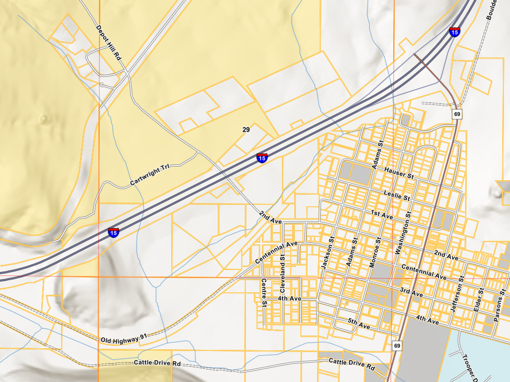
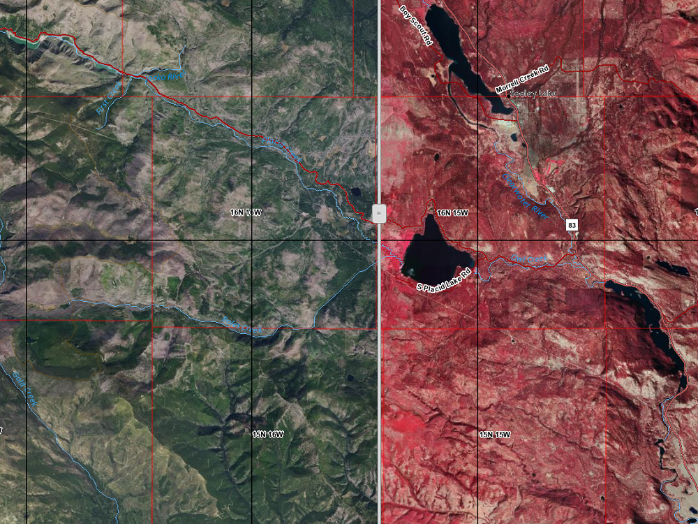
The Montana State Library has a curated collection of geospatial data, maps, and web applications, showcasing the Montana Spatial Data Infrastructure (MSDI), to support the work and knowledge of state and local governments and the public.
Featured Applications
Montana Spatial Data Infrastructure (MSDI)
The MSDI contains fifteen (15) framework geographic data themes vital to Montanans for understanding the State’s expansive and complex geography. Eight (8) of the framework themes are federally recognized by the Federal Geographic Data Committee through the National Spatial Data Infrastructure. Seven (7) additional themes were selected by the Montana Geospatial Information Advisory Council (MGIA).


Montana Geospatial Information Advisory Council (MGIAC)
The Montana State Library is guided by the Montana Geospatial Information Advisory Council (MGIAC) through an alliance with the Montana Association of Geographic Information Professionals (MAGIP) and the National States Geographic Information Council (NSGIC). The State Library Geographic Information Program inherits broad mandates from the Montana Geospatial Information Act (MGIA) and the Natural Resource Information System (NRIS) and Water Information System (WIS) Statute.
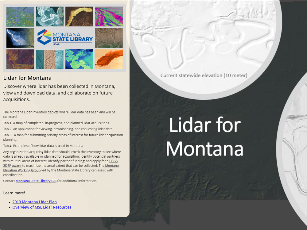
Geospatial Initiatives
Geospatial data and services are offered through the Montana State Library’s important initiatives.
Reports, Publications, Policies, and Dashboards
- Montana Geospatial Information Plan (Annual)
- 2025 Legislative Session
- Legislative Reports (Biennial)
GIS Coordination Calendar
What is GIS?
A Geographic Information System (GIS) is a computer system for the capture, storing, review, and display of spatial information as it relates to the Earth’s surface. This system allows for exploration and analysis to assist in understanding patterns and relationships.
GIS Information Resources and Assistance
